Please add profiles of those who were born, lived or died in Blaine County, Montana.
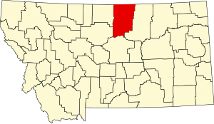
In 1912 Blaine, Phillips and Hill counties were formed from the area of Chouteau County. The original boundary of Blaine County included a portion of land in the west that is now included in Phillips County. The majority of Fort Belknap Indian Reservation is located in the southeastern part of the county. Features of the area include the Milk River, Bears Paw Mountains, and the Little Rocky Mountains.
Adjacent Counties
Cities & Communities
Links
Black Coulee National Wildlife Refuge
Nez Perce National Historical Park (part)
Upper Missouri River Breaks National Monument (part)
Battle of Bear Paw Battlefield