Please add profiles of those who were born, lived or died in Davis County, Utah.
History
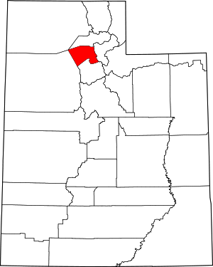
The legislature of the provisional State of Deseret defined the county in an October 5, 1850 act, which also designated Farmington as the seat due to its location midway between boundaries at the Weber River on the north and the Jordan River on the south. It was named for Daniel C. Davis, a captain in the Mormon Battalion. The county boundaries were altered in 1852, 1854, 1855 and in 1862. In 1880 the county gained part of the islands and waters of Great Salt Lake that had previously been attached to Salt Lake County. The county boundary has remained unchanged since that time.
During its first 50 years, Davis County grew slowly. With the advent of the Utah Central Rail Road in 1870, a transition to mechanized agriculture and a surge of commerce, banking, improved roads, new water systems, and electrification of homes began. However, by 1940, the population was barely 16,000.
With the establishment of Hill Air Force Base in northern Davis County, there was a surge of civilian employment after World War II. The county doubled in population between 1940 and 1950, and doubled again between 1950 and 1960 as part of the nationwide suburb boom that was occurring at the time. By 1990 there were 188,000 residents, and in 2000, there were 239,000.
Adjacent Counties
Cities & Townships
Links
National Register of Historic Places
Wasatch-Cache National Forest (part)