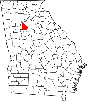


Please add profiles for those who were born, lived or died in DeKalb County, Georgia.
DeKalb County, formed in 1822 from Henry, Gwinnett and Fayette counties, took its name from Baron Johann de Kalb (1721-1780), a Bavarian-born former officer in the French Army, who fought for the Continental Army in the American Revolutionary War.
In 1853, Fulton County formed from the western half of DeKalb, divided along a perfectly straight and due north/south line down the middle. Until this time, the growing city of Atlanta had been inside DeKalb. Atlanta grew because the city of Decatur did not want to become the railroad terminus in the 1830s, thus a spot at the Thrasherville encampment in western DeKalb was picked to become Terminus and then Marthasville, before becoming Atlanta a few years after its founding. DeKalb once extended slightly further north to the Chattahoochee River, but this strip was later given to Milton, and is now the panhandle of Sandy Springs.
During the Civil War, much of the Battle of Atlanta took place in DeKalb.
Until the 1960s, DeKalb was a mainly agricultural county, but as the sprawl of the metropolitan Atlanta region expanded, DeKalb became increasingly urbanized. Finished in 1969, the eastern half of the Interstate 285 beltway, called "the Perimeter", ringed the northeastern and southern edges of the county, placing most of it "inside the Perimeter" along with nearly all of Atlanta. Interstate 675 and Georgia 400 were originally planned to connect inside the Perimeter, along with the Stone Mountain Freeway, connecting with the Downtown Connector near Moreland Avenue, destroying many neighborhoods in western DeKalb, but community opposition in the early 1970s spared them this fate of urbanization, although part of the proposed Stone Mountain Tollway later became the Freedom Parkway. Only Interstate 20 and Interstate 85 were successfully built through the county. DeKalb also became one of only two counties to approve MARTA rapid transit in the 1970s; the county now contains the east and northeast heavy rail lines.
Other Communities: Belvedere Park, Buford Highway, Candler-McAfee, Collinsville, Conley (part), Constitution (Ghost Town), Druid Hills, Ellenwood, Embry Hills, Flair Forest, Gresham Park, Lenox Park, Mountain View, North Decatur, North Druid Hills, Northlake, Panthersville, Pittsburg, Redan, Scottdale, Smoke Rise and Snapfinger
National Register of Historic Places
