Please add profiles for those who were born, lived or died in Franklin County, Missouri.
History
Occupied by succeeding cultures of indigenous peoples, this area was populated by the historic Osage tribe at the time of European encounter. The region was first settled by Europeans during the rule of the Spanish Empire. The Spanish log fort San Juan del Misuri (1796–1803) was built in present-day Washington. After the American Revolutionary War, migrants from the new United States started moving West. Among them were the family and followers of Daniel Boone, an explorer from Kentucky who settled the area starting in 1799. For the next two decades, most settlers came from the Upper South, especially Kentucky and Virginia, bringing their slaves with them to work the land.
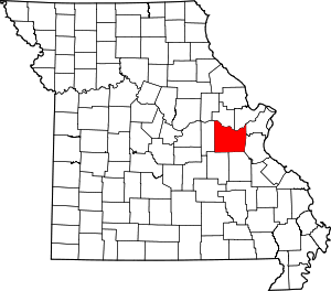
The county was organized in 1818 and is named after Founding Father Benjamin Franklin.
In 1833 substantial numbers of German immigrant families began settling in the area, and soon they outnumbered the slave owners in the county. The German newcomers were opposed to slavery, and their sons would become Union supporters during the U.S. Civil War. Former governor and then Confederate General Sterling Price led his cavalry though the county during his Missouri raid of 1864.
Before the war, Franklin County was served by steamboats that moved freight and passenger traffic on the Missouri River. Afterwards, it became a railroad transportation center. Manufacturing industries were established at the end of the Civil War and successive ones have continued.
Bias Vineyard, near the small city of Berger, is located within the Hermann American Viticultural Area (AVA), designated in 1983. Röbller Vineyard and Winery near New Haven is also in the Hermann AVA. Wineries along both sides of the Missouri River are part of the Missouri Rhineland, whose vineyards were started by German immigrants in the mid-19th century. Before Prohibition, Missouri was the second-largest wine-producing state in the nation. Everything was closed down except for limited production of wine allowed for religious purposes. The state's wine industry had to be completely rebuilt, which has been taking place since the 1960s.
The rural county has had severe problems with local production, distribution and consumption of methamphetamine. The struggles of the county with adverse effects of the drug, was explored in a 2005 A&E documentary entitled Meth: A County in Crisis.
Adjacent Counties
Cities & Villages
Other Communities: Beaufort, Boles, Campbellton, Catawissa, Clover Bottom, Detmold, Dissen, Etlah, Gray Summit, Hemker, Labadie, Lonedell, Luebbering, Lyon, Moselle, Noser Mill, Robertsville, St. Albans, Spring Bluff, Stanton, Strain and Villa Ridge
Links
National Register of Historic Places
Franklin County Recorder's Book Index (1830-1837)