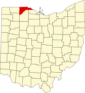


Please add profiles for those who were born, lived or died in Lucas County, Ohio.
The county was named for Robert Lucas, 12th governor of Ohio, in 1835 during his second term.[4] Its establishment provoked the Toledo War conflict with the Michigan Territory, which claimed some of its area.
The Toledo War
The Toledo War (1835–36), also known as the Great Toledo War, the Michigan–Ohio War or the Ohio–Michigan War, was an almost bloodless boundary dispute between the U.S. state of Ohio and the adjoining territory of Michigan.
Poor geographical understanding of the Great Lakes helped produce conflicting state and federal legislation between 1787 and 1805, and varying interpretations of the laws led the governments of Ohio and Michigan to both claim jurisdiction over a 468-square-mile region along the border, now known as the Toledo Strip. The situation came to a head when Michigan petitioned for statehood in 1835 and sought to include the disputed territory within its boundaries. Both sides passed legislation attempting to force the other side's capitulation, while Ohio's Governor Robert Lucas and Michigan's 24-year-old "Boy Governor" Stevens T. Mason helped institute criminal penalties for citizens submitting to the other's authority. Both states deployed militias on opposite sides of the Maumee River near Toledo, but besides mutual taunting, there was little interaction between the two forces. The single military confrontation of the "war" ended with a report of shots being fired into the air, incurring no casualties.
During the summer of 1836, the United States Congress proposed a compromise whereby Michigan gave up its claim to the strip in exchange for its statehood and about three-quarters of the Upper Peninsula. The northern region's mineral wealth later became an economic asset to Michigan, but at the time the compromise was considered a poor deal for the new state, and voters in a statehood convention in September soundly rejected it. But in December, facing a dire financial crisis and pressure from Congress and President Andrew Jackson, the Michigan government called another convention (called the "Frostbitten Convention"), which accepted the compromise, resolving the Toledo War.
Other Townships & Communities: Alexis Addition, Bono, Business Corner, Curtice, East Swanton, Frankfort, Harding, Jerusalem, Monclova, Neapolis, Niles Beach, Reno Beach, Richfield, Richfield Center, Shoreland, Spencer, Springfield, Washington and Yondota
Cemeteries
Cedar Point National Wildlife Refuge
Ottawa National Wildlife Refuge (part)
West Sister Island National Wildlife Refuge
National Register of Historic Places
Ohio Genealogical Society - Lucas County Chapter
